Survey IT & GIS
Topographic survey, mapping, and GIS work is to display orthophotos of various positions and details that appear on the surface of the project area that we surveyed into scaled down or to a certain scale which is suitable by replacing objects with symbols and line types which is based on the coordinate system used in the survey.
In the construction project, no matter how big or small the area, surveyance mapping will be very important since it is the beginning of all work because if you don't know the true size of the area you will not be able to determine the size of the buildings accurately. In boundary surveying, in addition to obtaining the size of the area, you will also know all other details of the project area to be used to determine the setback distance of buildings, utility systems locations, depth, to design connections between tree positions, original buildings, surrounding roads, different heights and angles of slopes used to calculate the volume of earth work, etc.
The company will provide survey and mapping services in a variety of formats. To meet the customer needs using modern tools which can be divided into the following type.
1. Survey and map with the Total Station and GNSS RTK (Topographic Map)
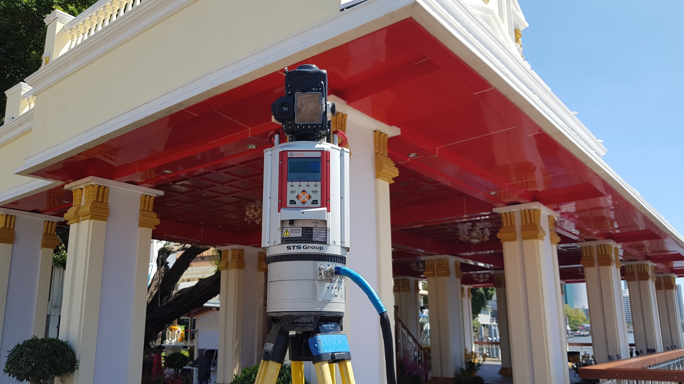
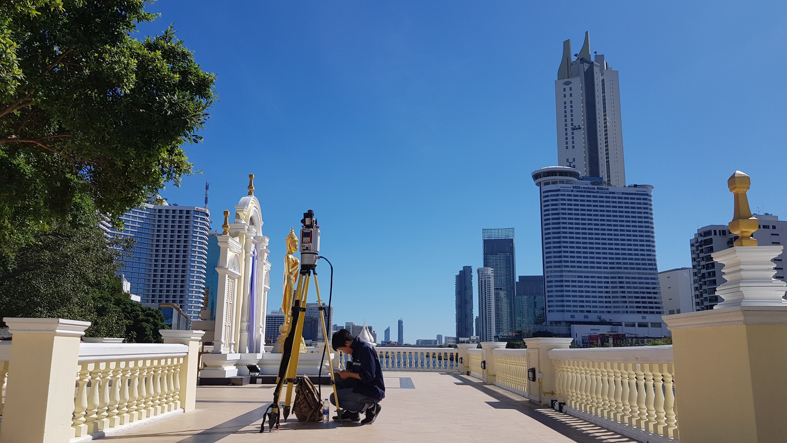
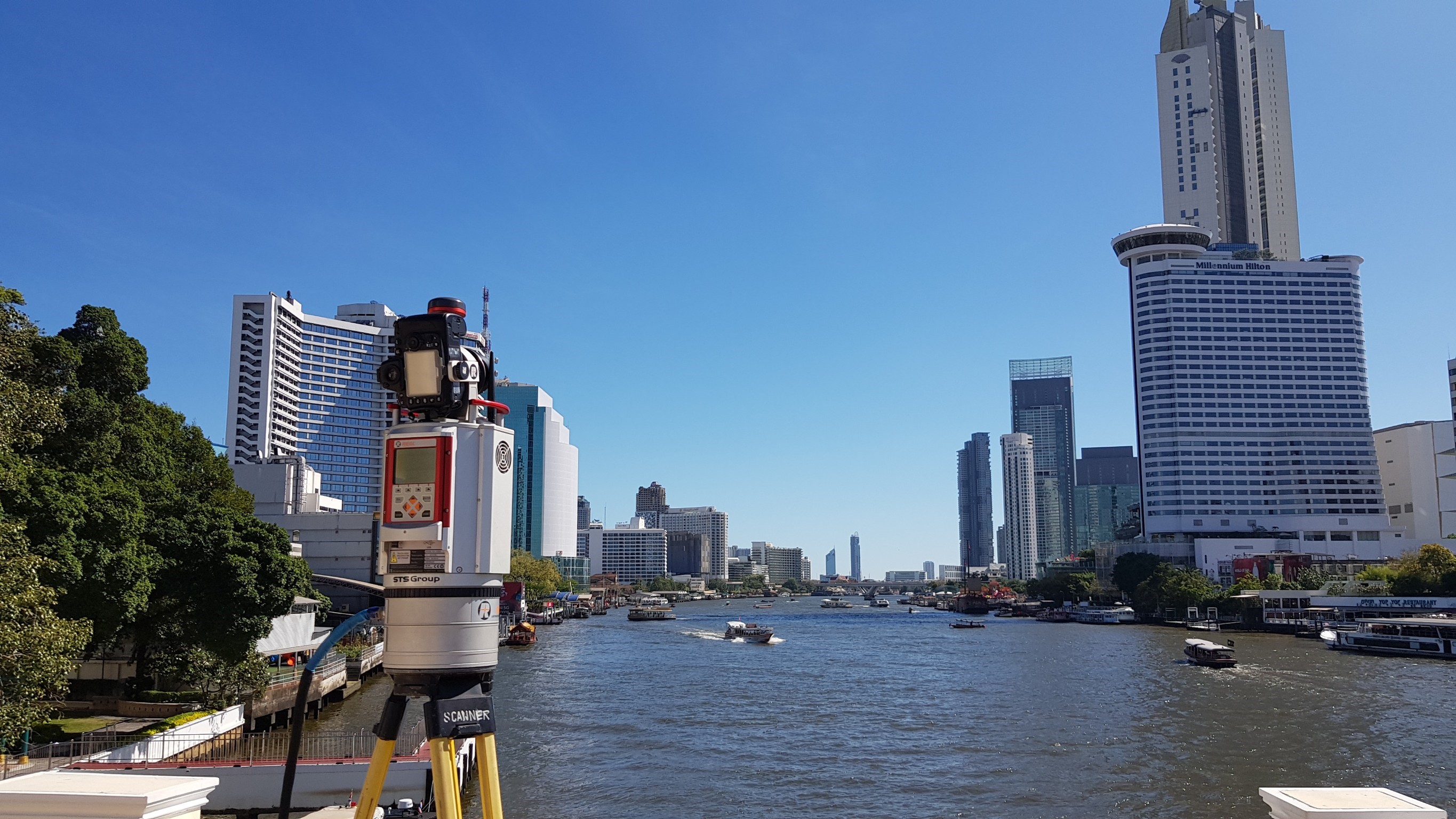
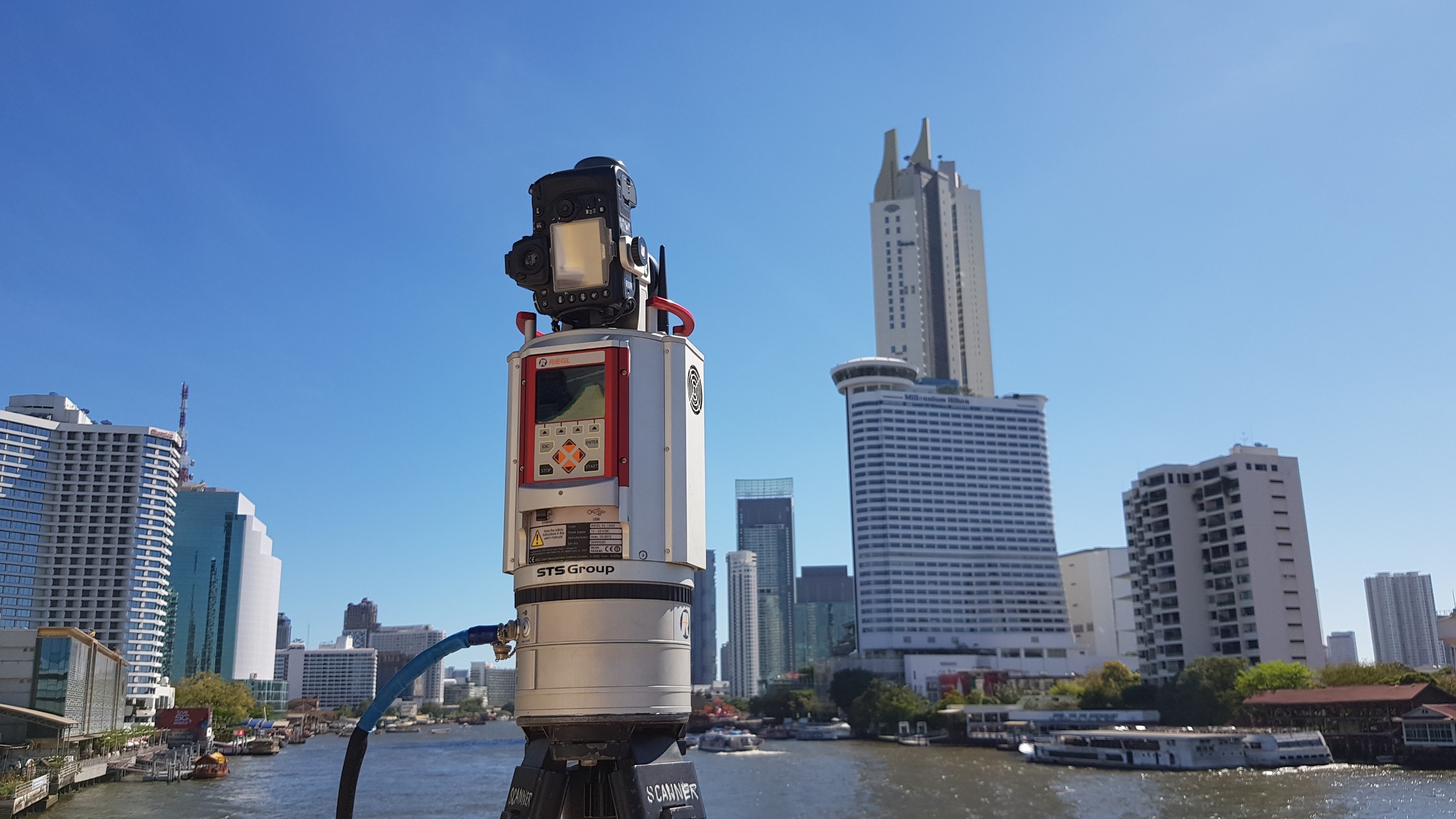
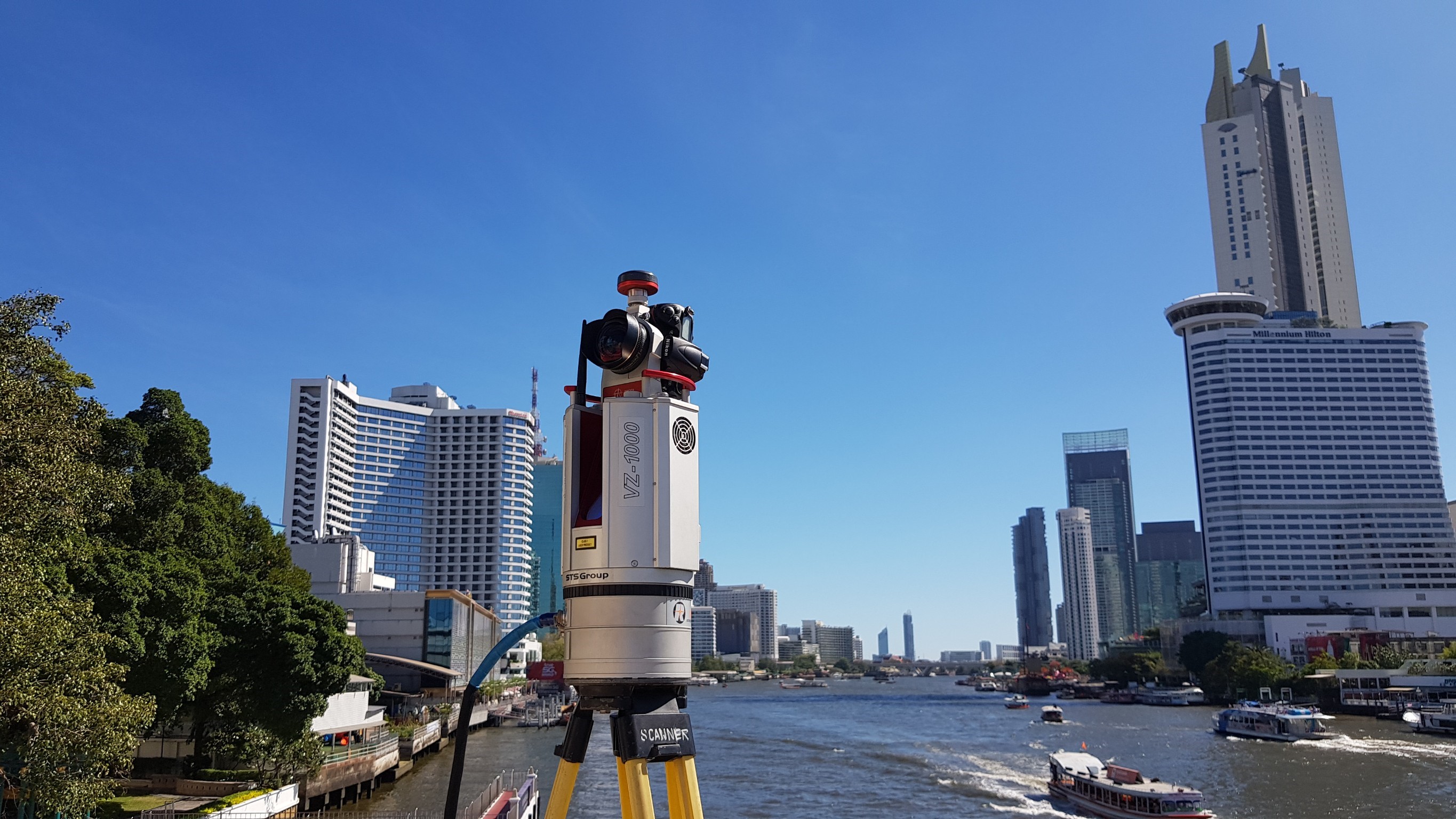
2. Survey and map with 3D Laser Scanners (Scan to BIM) (Riegl VZ-1000 and Faro X-33).
3. Survey and map with unmanned aerial vehicles (LiDAR UAV)
4. Survey and map large areas with Airborne Lidar
5. Survey the sea to find the depth and marine geophysics (Bathymetric, Sub Bottom Profiler, Side Scan Sonar, Magnetometer)
6. Construction survey
7. Survey of network pins by satellite receiver (GNSS Static Survey)
The company will deliver the surveys in digital format so that customers can use it continuously and can adjust the format of the information to meet their needs.
Inspecting boundary areas | Surveying Traverse | Gather details | Office work |
---|---|---|---|
Walk and inspect the boundary posts to measure and calculate the coordinates, angles, and the area as confirmed by the project owner. | Carry out a survey of surrounding area pins to survey the 3D coordinate system. | Carry out surveys, collect details in the field. | Use the information obtained from the field to create topographic maps in the format of AutoCAD. |
Pavement surveying with a surface crack measurement system using the LCMS (Laser Crack Measurement System)
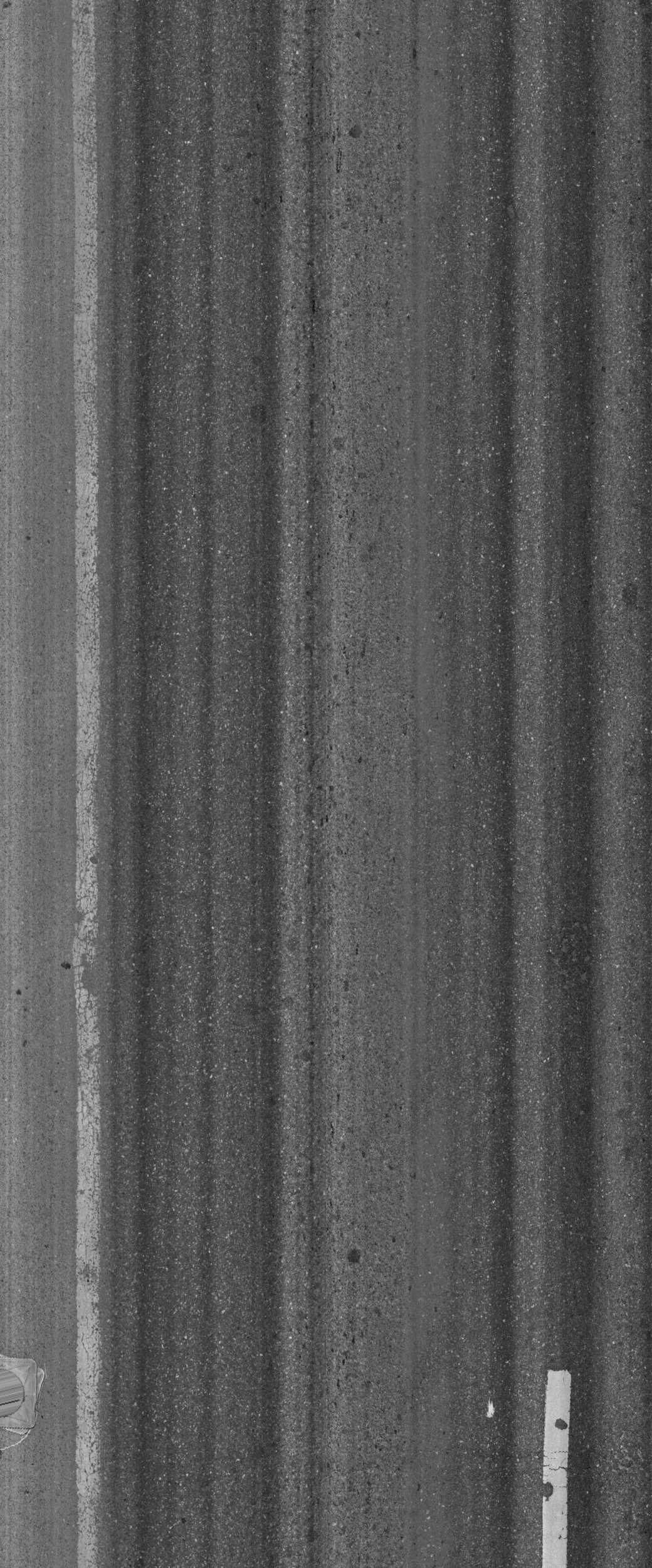
The company has a network survey vehicle that can accurately and quickly store data about road ways with a data acquisition vehicle able to run at a speed of 100 km/h. On the vehicle is a laser that can scan up to 4,096 points with 1 laser that can scan the road area in the width of 2 meters, every 1 millimeter, and able to measure and calculate data from the survey in accordance with ASTM E950, ASTM E1845 all at once.
The possible collectible data are as follows:
1. International Roughness Index, IRI
2. Rutting
3. Texture Depth
4. The coordinates of the survey vehicle from the DGPS with an accuracy of +/- 1 meter.
5. Data from lasers that can show the damages on pavements and analyze them automatically
6. Photographs of conditions in the road (Asset View)
7. Surveying distance from HRDMI (High Resolution Distance Measurement Instrument)
All of the surveyed data will be related and when put into the processing program can measure the area and coordinates on the image that appears on the computer screen immediately.
Surveying the friction of pavement (Friction Tester)
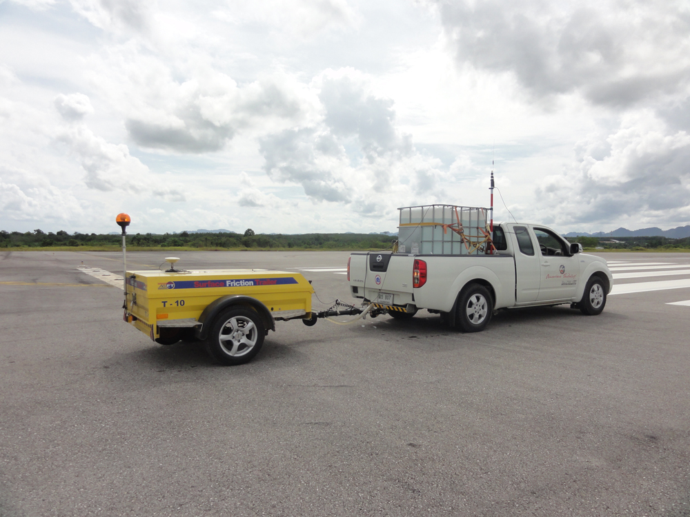
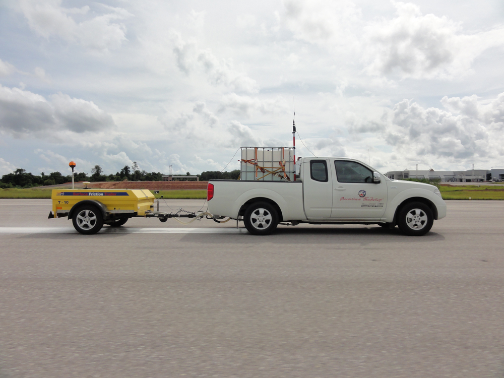
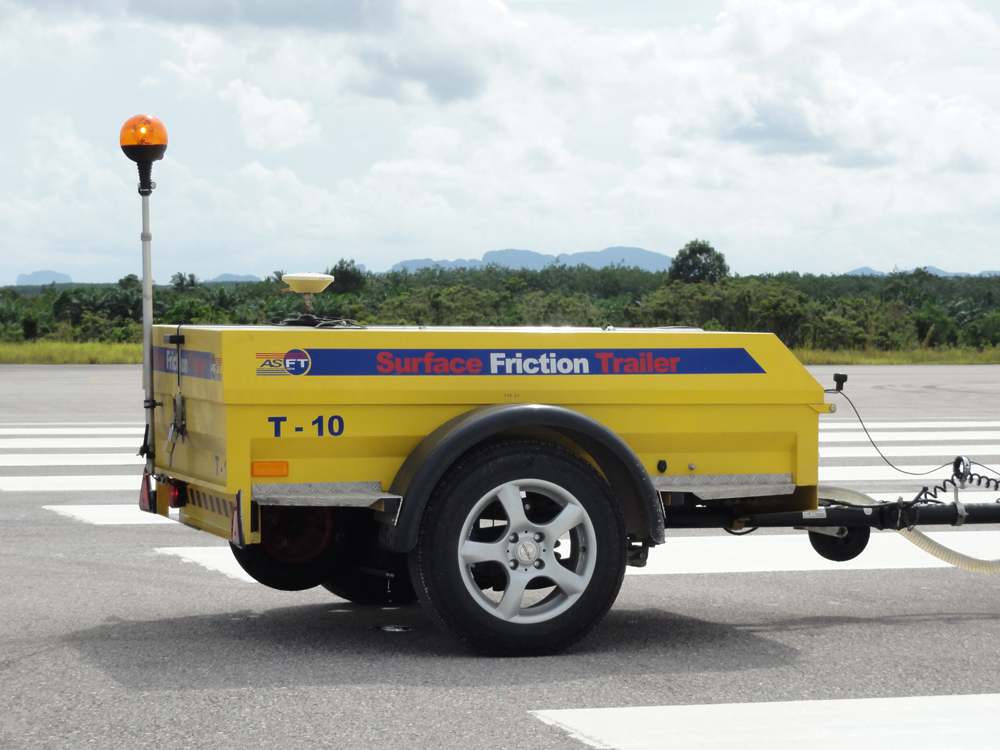
Safety in road transport and road surface transportation systems the friction of the road surface will be an important factor in determining how road surfaces and vehicles tires are related. The company uses the brand ASFT model T-10 as the car used to survey the friction of road surfaces. Providing a test that simulates a wet traffic surface by spraying 1 mm of water. While testing and delaying the rotation of the test wheel to measure at a consistent speed which can be continuously surveyed along the route and in accordance with ISO 8349.
Establishing a geographic information system
The company has expertise in map making for a long time and is able to bring various information together to show results together with the map to display the results in geographic information with engineers, geographers, and programmers who closely advise customers. Past work and references include government agencies such as Harbor Department, Department of Highways, Department of Civil Aviation, etc.
Database programming work to support geotechnical engineering (STS-DMS)
In the recording of measurements for geotechnical engineering there is the use of programs from tool manufacturers from abroad but there is a limitation in changing the format of the report and choosing to view the information of each tool installed. The company has therefore developed a program that can bring measurement tools of each type and surveyance data from the field, such as building settlement subsidence data, to be grouped into the same data set, however, we are still able to adjust the format of the reports’ Graph display to match the needs of customers.
More Photos