Topographic survey, mapping, and GIS work is to display images of various positions and details that appears on the surface of the project area that we surveyed into scaled down or to a certain scale which is suitable by replacing objects with symbols and line types which is based on the coordinate system used in the survey.
In the construction project, no matter how big or small the area, surveyance mapping will be very important since it is the beginning of all work because if you don't know the true size of the area you will not be able to determine the size of the buildings accurately. In surveyance mapping, in addition to obtaining the size of the area, you will also know all other details of the project area to be used to determine the shortened distance of buildings, utility systems locations, depth, to design connections between tree positions, original buildings, surrounding roads, different heights and angles of slopes and slope stability used to calculate the volume of soil cutting or soil filling etc.
The company will provide survey and mapping services in a variety of formats. To meet the customer needs using modern tools which can be divided into the following type.
1. Survey and map with the Total Station and GNSS RTK (Topographic Map) camera.
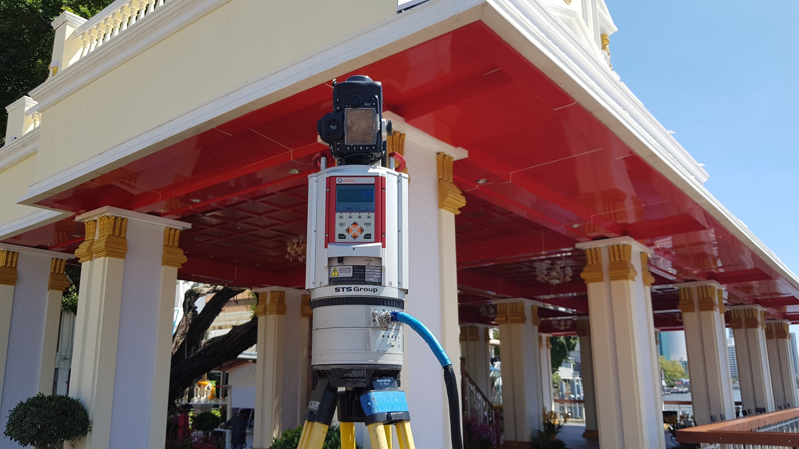
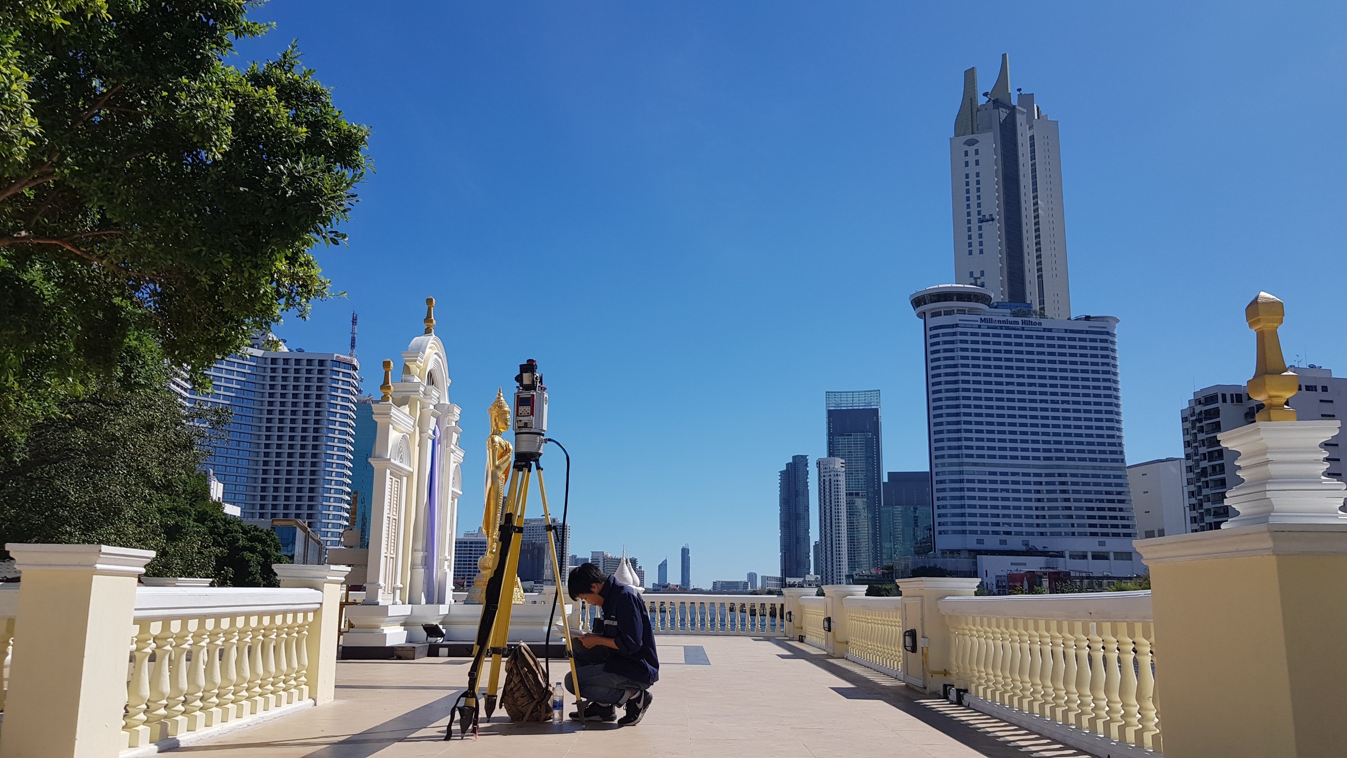
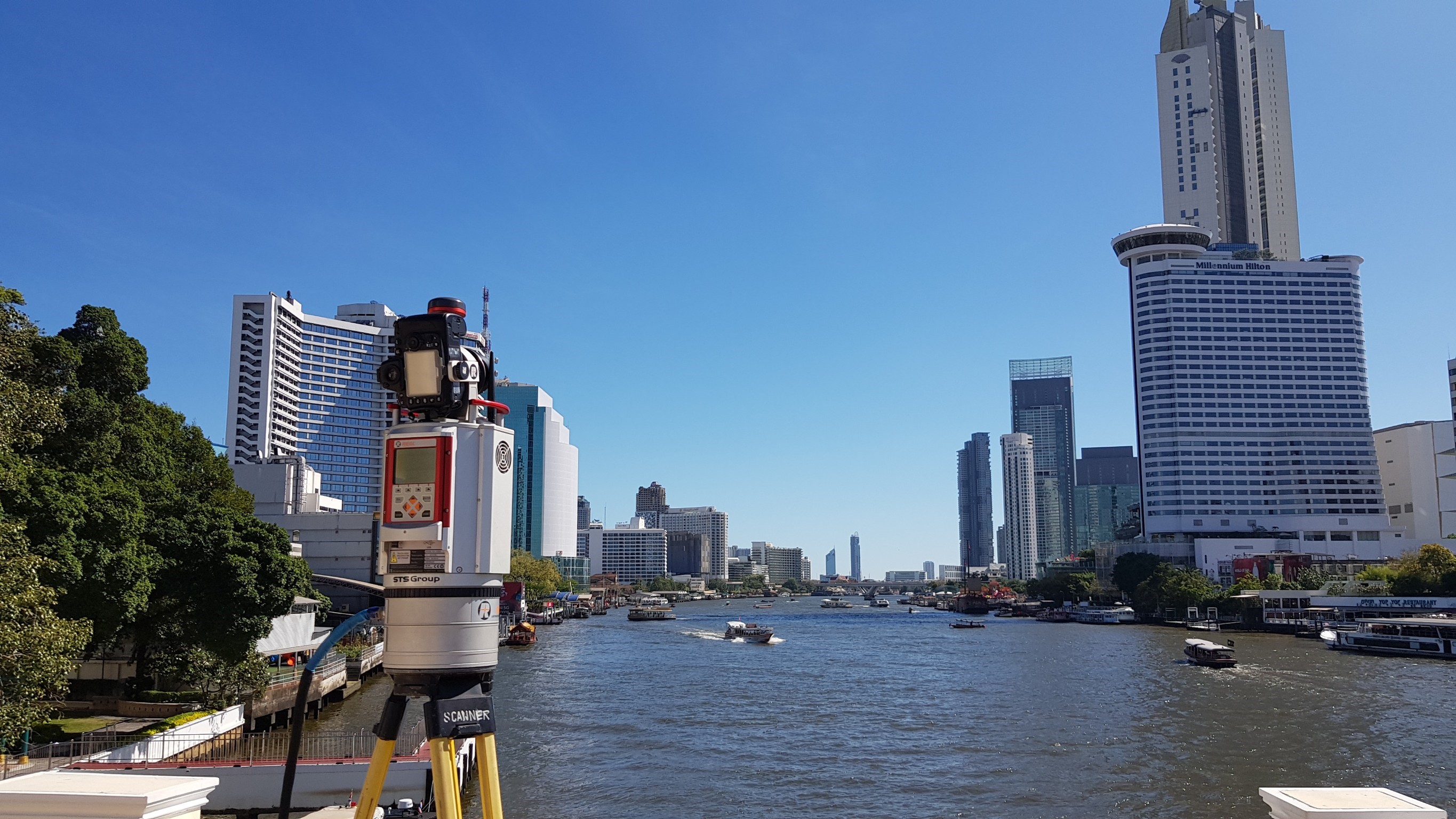
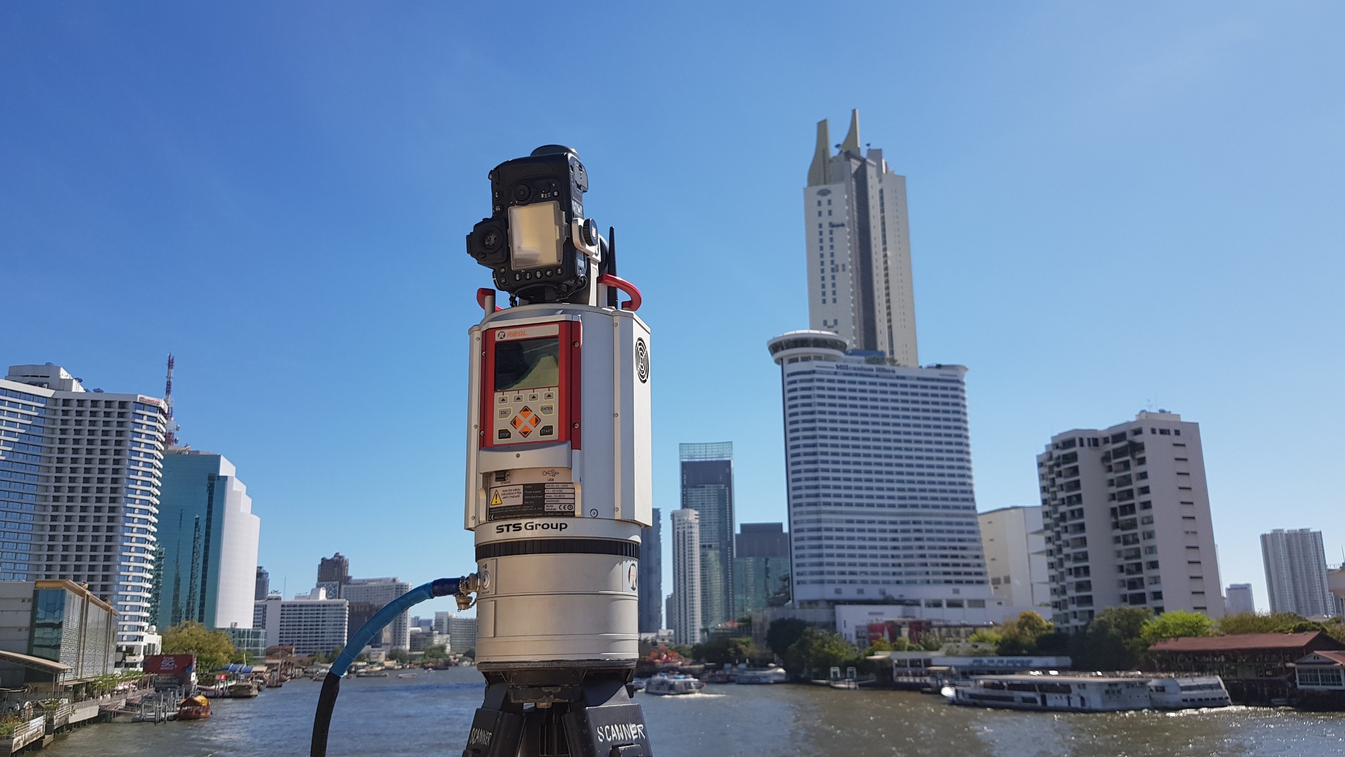
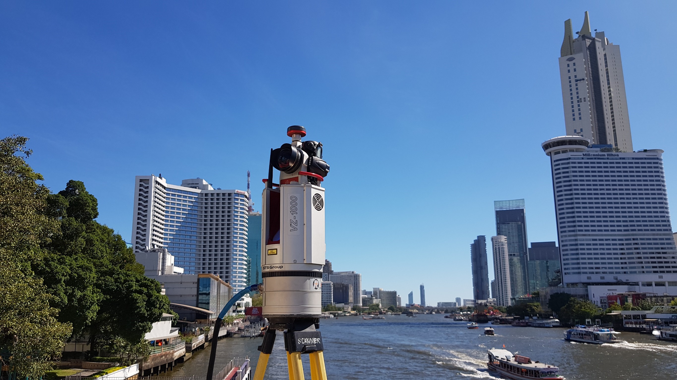
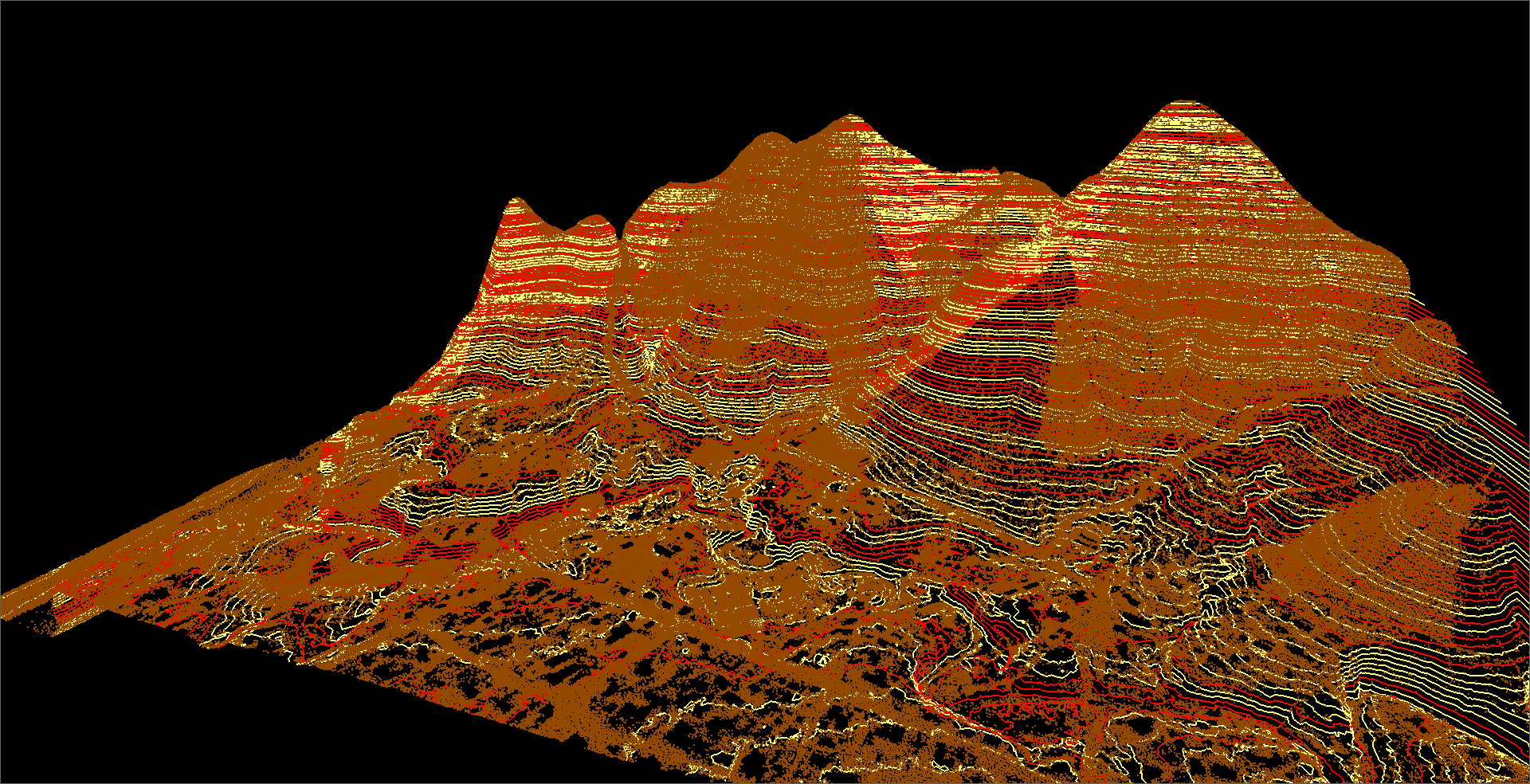
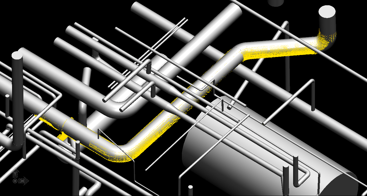
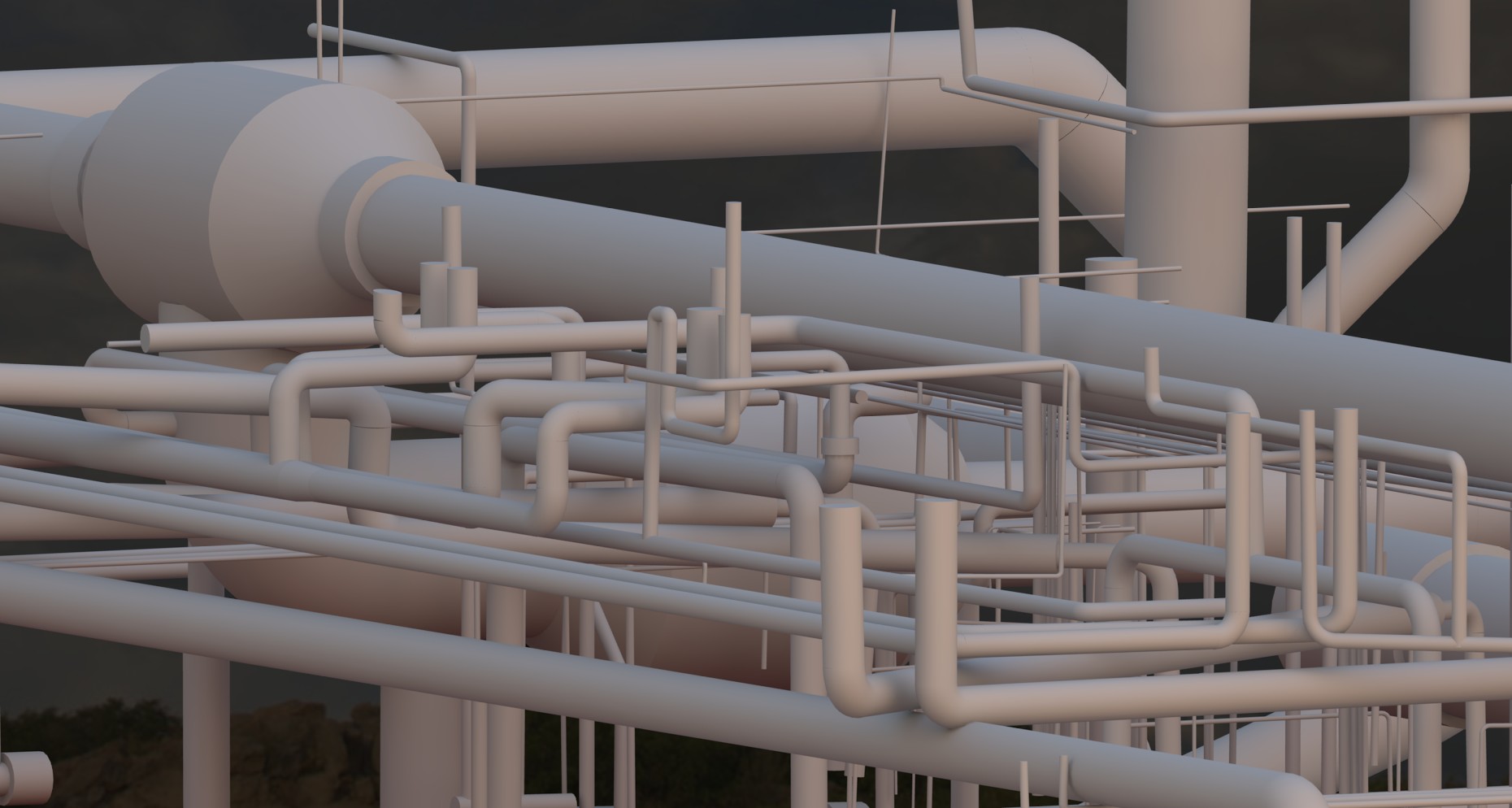
2. Survey and map with the 3D Laser Scanner (Riegl VZ-1000).
3. Survey and map with unmanned aerial vehicles (Drone or UAV)
4. Survey and map large areas with Airborne Lidar
5. Survey the sea to find the depth and marine geophysics (Bathymetric, Sub Bottom Profiler, Side Scan Sonar, Magnetometer)
6. Construction survey
7. Survey of network pins by satellite receiver (GNSS Static Survey)
The company will deliver the surveys in digital format so that customers can use it continuously and can adjust the format of the information to meet their needs.